Heavy-current electrical, plant engineering and industrial engineering services for milling, processing, mining, manufacturing and power-generation clients — from design and fabrication to commissioning and after-project support.
CIPC Registered • B-BBEE Level 1 • Trade-Tested Electricians • Coded Welders • HSEQ Compliance
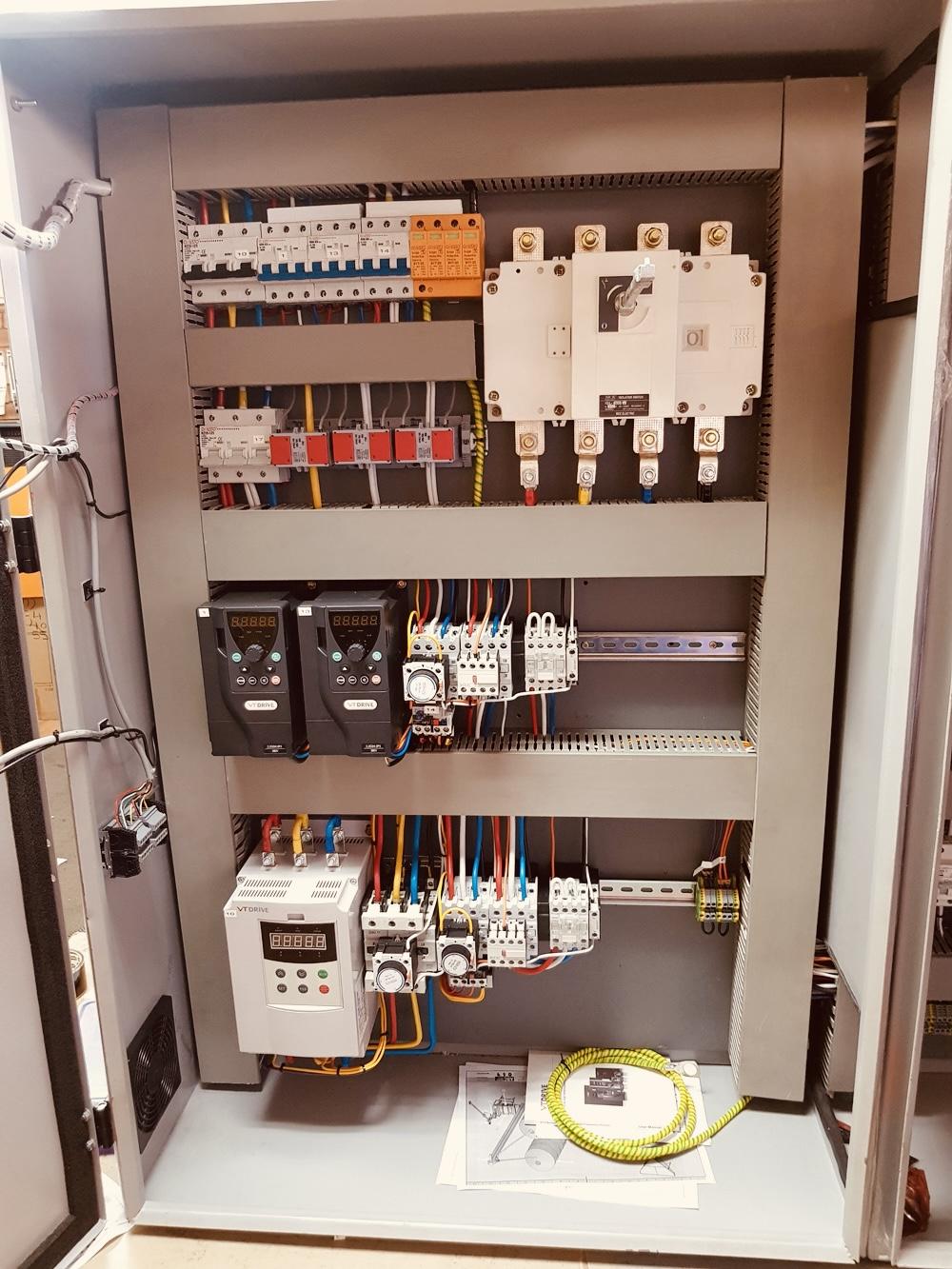
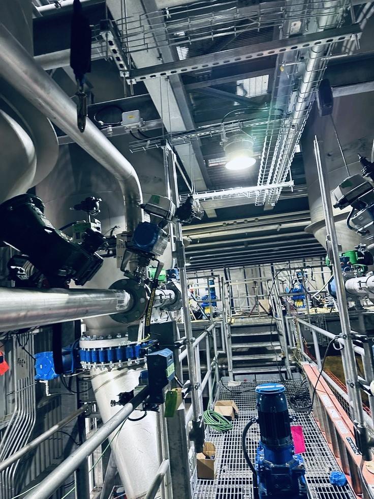
Industrial electrical installation, maintenance, power distribution, MCCs, control systems, fault finding and plant electrical support.
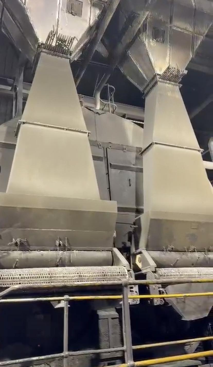
02Plant maintenance, mechanical fabrication, chute fabrication and repairs, steel fabrication, shutdown maintenance and breakdown repairs.
MML Consulting Group (Pty) Ltd is a CIPC-registered engineering and industrial contracting company delivering heavy-current electrical, plant engineering and industrial engineering services to milling, processing, mining, manufacturing, power-generation and public-sector clients, from design and fabrication to commissioning and after-project support. We operate an established workshop with design offices on the same premises in Empangeni, KwaZulu-Natal.




Every figure below reflects real fieldwork, real data and real client trust built across South Africa.
Our projects are delivered in collaboration with qualified, trade-tested professionals and specialists with more than five years of industry experience.
Capable of delivering electrical and plant & industrial engineering services to municipalities, industry and private clients across every province.
Trusted by municipalities, industrial operators and private organisations for safe, reliable and compliant electrical and plant services.
Heavy current electrical and plant & industrial engineering services for projects across South Africa.
Industrial electrical installation, maintenance, power distribution, MCCs, control systems, fault finding and plant support.
Explore Heavy Current Electrical →Plant maintenance, industrial fabrication, shutdown support, breakdown repairs and industrial supply solutions.
Explore Services →Heavy-current electrical, plant engineering and industrial engineering — from design and fabrication to commissioning and after-project support.
LV/MV switchgear, MCCs, armoured cabling, busbars, fault finding, breakdown response, OHS pre-inspection checks.
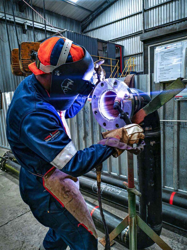
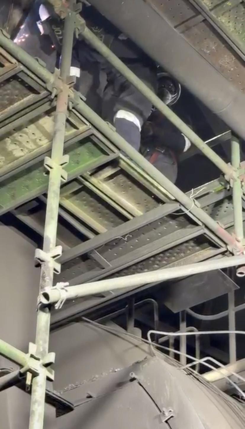
EXPLORE →Steel and platform fabrication, chutes, hoppers, industrial grating, coded welding.
EXPLORE →Millwright labour, call-out and corrective maintenance, leak repairs.
EXPLORE →Boiler washing, flexible steel piping replacement, process cooler cleaning and servicing.
EXPLORE →Maintenance strategies, SOPs and task lists, equipment audits.
EXPLORE →As-built drawings, welding inspections, safety clearance, site safety files.
ENQUIRE →Right documentation. Right people. Right first time.
June – September 2026
All work executed as a specialised subcontractor through the principal contractor, in compliance with the OHS Act 85 of 1993, applicable regulations, and the site standards of the principal contractor and end client. Verification reference available on request.
Have an electrical, fabrication or maintenance requirement? Send us your scope and we will respond with a clear, compliant proposal.
Professional, calibrated equipment used in the field to deliver safe, compliant and audit-ready site work.
Full safety kits for compliant site and field work.
Dedicated field vehicles equipped for site access nationwide.
Our proprietary digital platform gives clients complete visibility throughout the entire project lifecycle — from site work to documents and reports in your dashboard. For electrical and plant clients it means job updates, compliance files and invoices without a phone call.
Clients don't just receive reports — they receive continuous visibility into their project, every step of the way.
See exactly where your project stands, updated as work happens.
Explore every project site and its details spatially.
Full visibility into scope, progress and results.
Get notified the moment results, reports or documents land.
Track how sites change over months and years, not just snapshots.
Every report, certificate and file in one secure repository.
Role-based, encrypted access built for enterprise clients.
Live data means faster, better-informed decision making.
Digital-first delivery cuts admin and physical document handling.
Teams and stakeholders work from one shared source of truth.
A growing project record you can reference for years.
An enterprise-grade digital experience built for serious clients.
Stop phoning for updates. Whether we are maintaining switchgear, repairing chutes or supporting a shutdown, MML Nexus keeps you informed, so your team spends its time running the plant.
Know when work starts, progresses and completes. Notifications reach you instead of you chasing us.
Follow electrical and plant jobs on a timeline with milestones, from breakdown call-out to handover.
Safety files, certificates, as-built drawings and inspection records in one secure place, ready for audits.
View and track quotations and invoices without email back-and-forth.
Geo-tagged site photos and job records show exactly what was done and where.
Switchgear, MCCs, pumps and plant equipment with their service history, so you always know what was done and when.
We can fit a QR tag to the equipment we service. Anyone at your plant scans it with a phone camera and sees the full service history on the spot. No app and no login.
Only MML staff can add or change entries.
Traditional consulting stops at the report. We give you the report — and the platform to go with it.
Get industry-standard project delivery together with full access to the MML Nexus Client Portal.

 MML Consulting Group